A contested country
Start with the geography of the medieval Borders and the routes that made the region strategically important.
Route visual
Wars of Independence · Berwick, Norham, Carham and Roxburgh
Medieval Borders
See the Border country through the medieval conflict that made the frontier one of the most contested landscapes in Britain.
Small private groups; typically up to four guests
Starting area: Agreed around Berwick, Kelso, Melrose or the main historical focus of your day.
Private guiding with Mark · Vehicle travel between agreed sites · Route planning around your interests
Admission fees and food are extra unless agreed otherwise. Mark will confirm the total for your party before you book.
Planning your visit from overseasThe shape of the day
The Wars of Independence are often told through famous battles and heroic names. In the Border country, the story is also about castles, crossings, loyalties and the pressure of living where armies and ambitions repeatedly met.
A day with Mark helps the large political story stay connected to the ground beneath it. You will have time to examine the evidence, ask how later retellings shaped the story and see why the Borders mattered so much to Scotland’s history.
The large political struggle becomes clearer when you stand at the crossings, castles and roads that made the Borders so valuable. Geography gives the famous names somewhere tangible to belong.
Find your bearings
These tours explore southern Scotland and the wider border country with England. Tell Mark where you are staying and whether you will have a car, so the meeting point and route can be discussed before you make travel arrangements.
Day tours usually last five to eight hours. Allow for the journey to and from the agreed starting point; collection from your accommodation is something to discuss, rather than assume.
Some stops involve uneven ground or slopes. Mention walking limits when enquiring so Mark can explain what is practical for your party.
Read the travel and booking questionsAt a glance
Several medieval sites can be linked in one day, but the exact balance depends on access, travel distances and the part of the Wars of Independence you most want to investigate.
Walking level
Light to moderate, with a mixture of viewpoints, historic places and uneven ground at some sites.
Vehicle time
Road travel links the medieval sites around the Tweed and eastern Borders; exact time follows the agreed route.
Starting area
Agreed around Berwick, Kelso, Melrose or the main historical focus of your day.
Typical group size
Small private groups; typically up to four guests
Payment
Bank transfer after the route and plans are agreed; details are supplied with the confirmation.
A good fit for
This tour suits visitors fascinated by Wallace, Bruce, medieval Scotland or the conflict’s lesser-known local consequences. It is particularly useful if you want geography and sources alongside the familiar heroic narrative.
More than a stop on a map
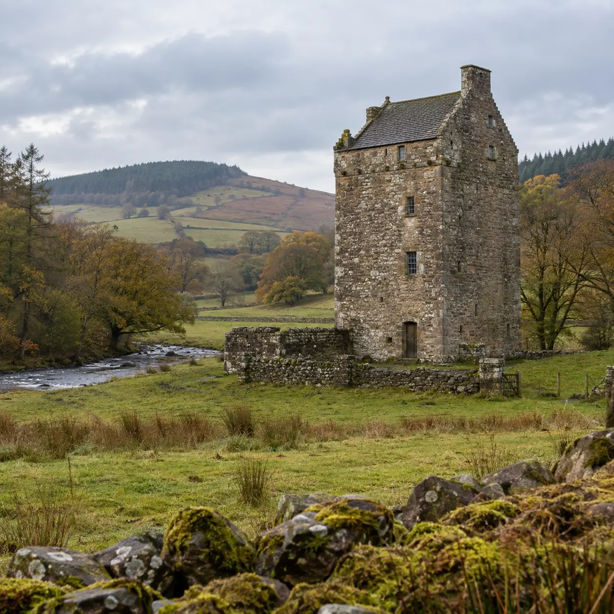
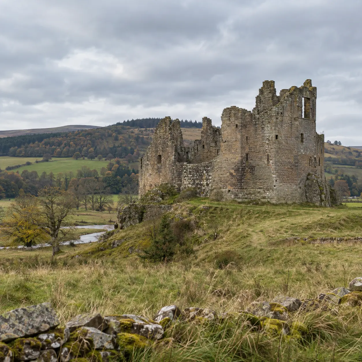
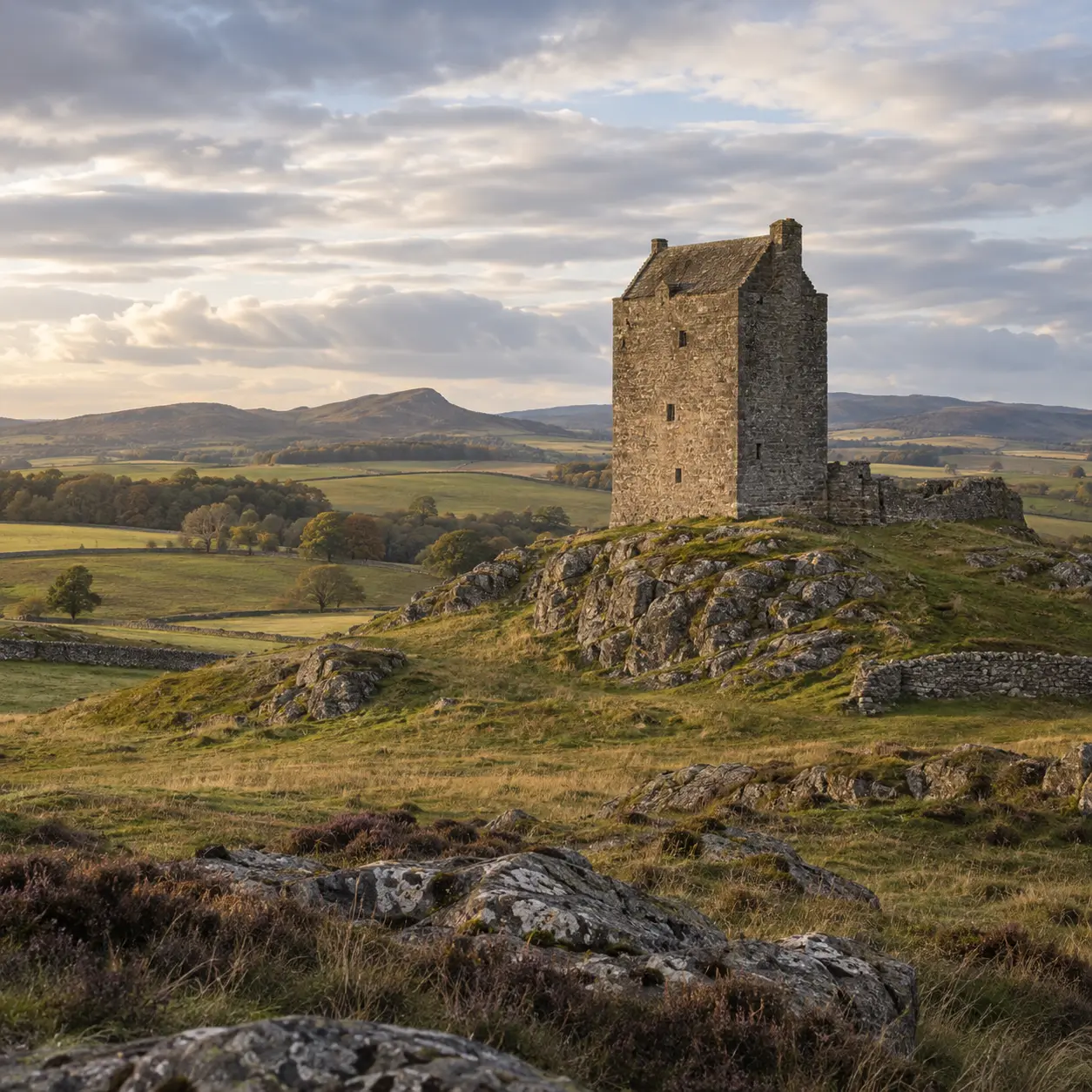
The Border country was central to the Wars of Independence because rivers, crossings, castles and roads made it strategically important. A route from Berwick and Norham through Carham and Roxburgh can show how military history was experienced on the ground, rather than only through the names of famous battles.
The day also leaves room for the stories that grew around the conflict: Wallace, frontier strongholds, shifting loyalties and the ways later generations remembered medieval Scotland. Mark will connect the broad political events to the physical places that still give the story its shape.
Questions you can bring
Inside the itinerary
Follow the strategic logic of the region first, then connect military events to the strongholds and communities that experienced the conflict directly.
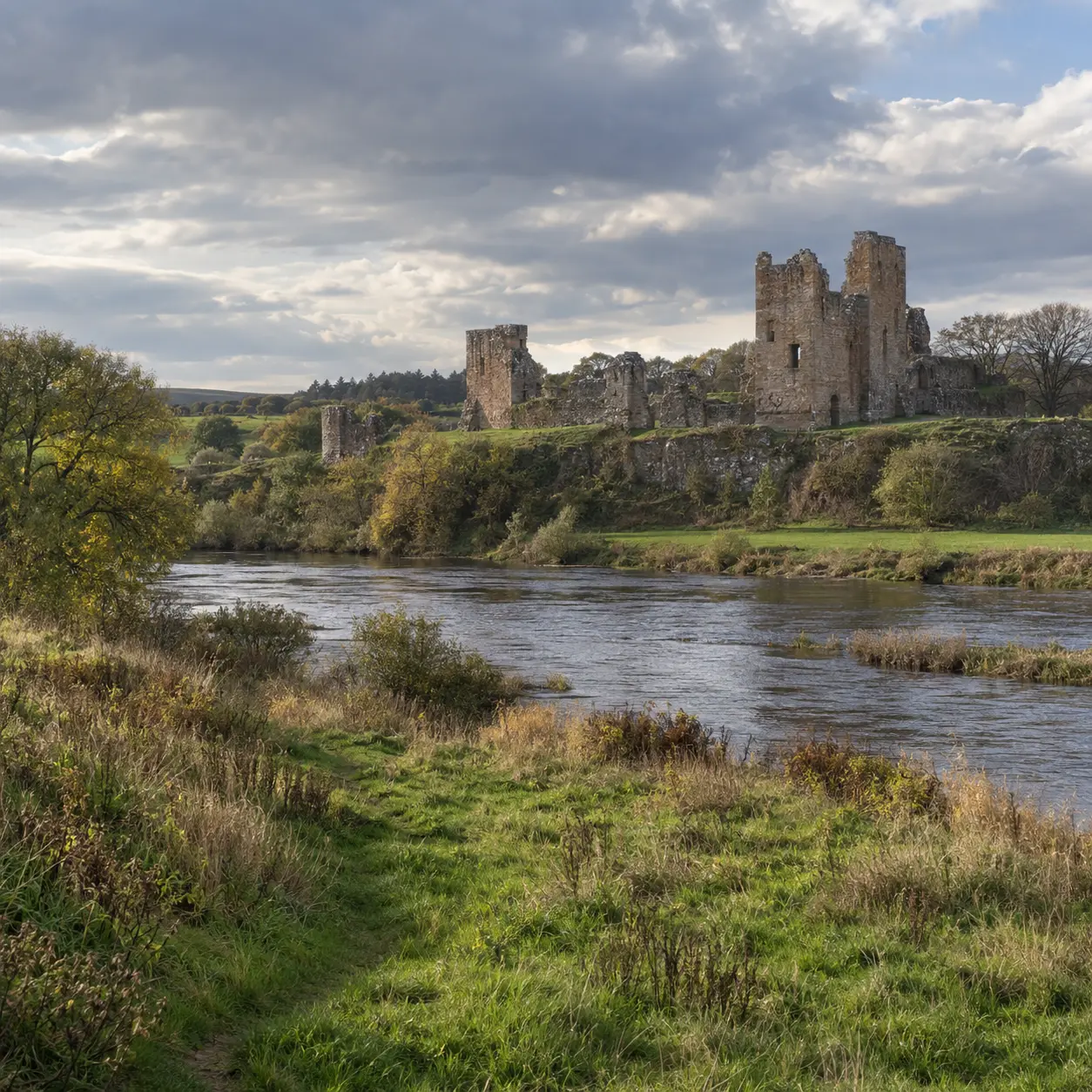
Start with the geography of the medieval Borders and the routes that made the region strategically important.
Connect the major names and events to the strongholds and communities that experienced the conflict directly.
Finish by considering how the Wars of Independence have been remembered, retold and placed in the landscape.
Good to know
A personal route
Keep exploring
A guest’s experience of touring with Mark
“We were treated to a wide variety of delightful adventures. I would highly recommend this tour to anyone looking for a gentle, yet deep introduction to these special lands.”
Ellen · California
Read guest feedbackGet to know the stories through Mark’s heritage archive, then bring your questions on the day.
Ask Mark about this tour